
Atherton Tablelands was our first stop en-route to Cooktown before heading south down the coast. The Atherton Tablelands are cool and pleasant at this time of year with significant areas of remaining intact rainforest. This is notwithstanding that over 90% of the original vegetation was cleared in their settlement. The area is known for its intensive horticulture and dairy industries along with its remaining natural rainforest. The rainforest areas are now protected as part of the Wet Tropics World Heritage Area. The Wet Tropics area includes the rainforest of the Atherton Tablelands, the coastal ranges and the coast extending from Paluma north of Townsville through the Daintree south of Cooktown. These areas are remnants from the geological times of Gondwana (when Australia was part of the super-continent) with the closest relations of many species of plants and animals here being found in New Caledonia, South America and New Zealand.
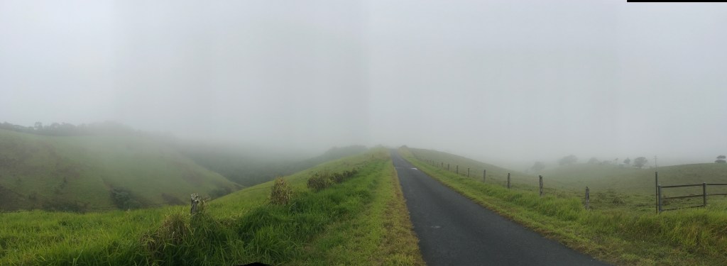
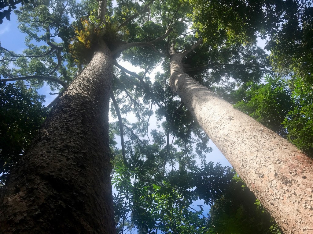
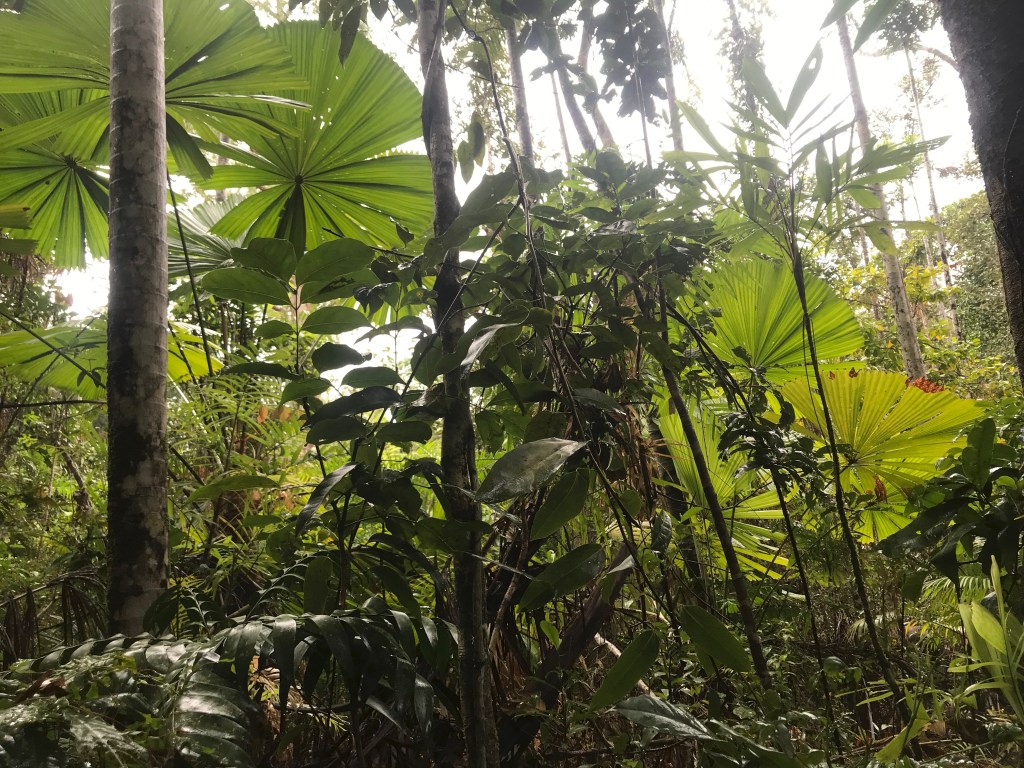
Australia was formerly largely forested, but much of the vegetation has disappeared. The rainforest along the coast of north Queensland remains because of the presence of ranges close to the coast, which has attracted significant rainfall over the millennia. The wettest place in Australia is Tully, just to the south of Cairns with its 4m of annual rainfall. The vegetation for land inland and to the north and south where the scale of the mountains lessen and rain shadows limit precipitation, soon changes back to the eucalypt sclerophyll vegetation that characterises much of Australia’s east coast. The rainforest areas are incredibly special. They retain unique vegetation communities and many endemic animal species – tree kangaroos, striped possums, leumoroid ringtail possums, gliders, cassowaries, many bird species, frogs ….
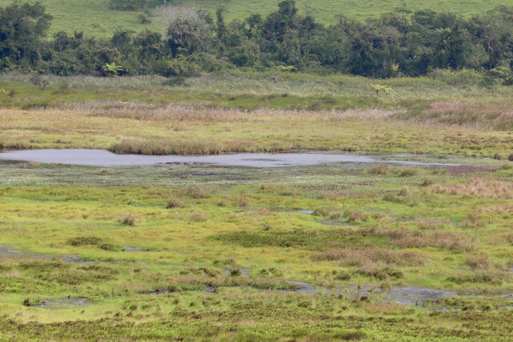
Bromfield Swamp (in a crater) 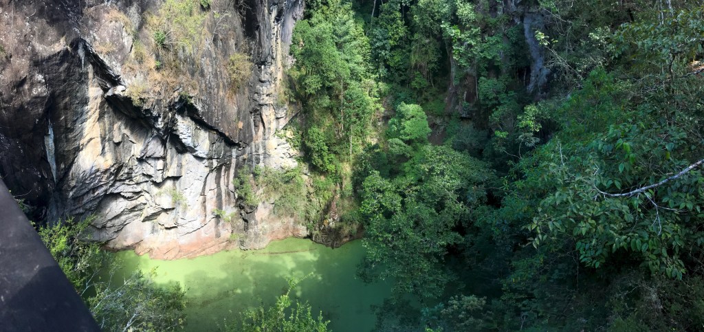
Mt Hypipamee Crater
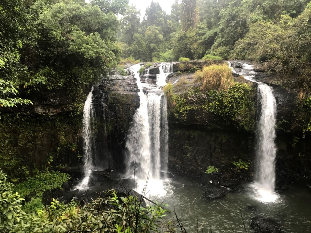
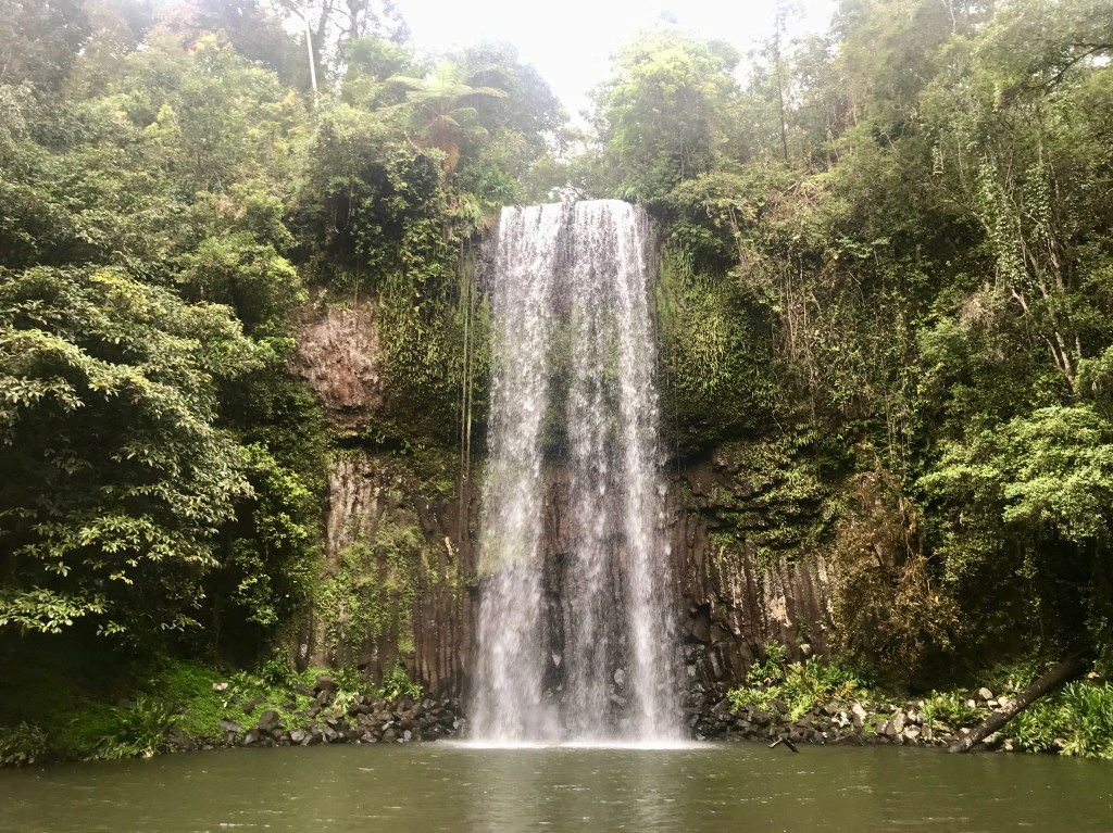
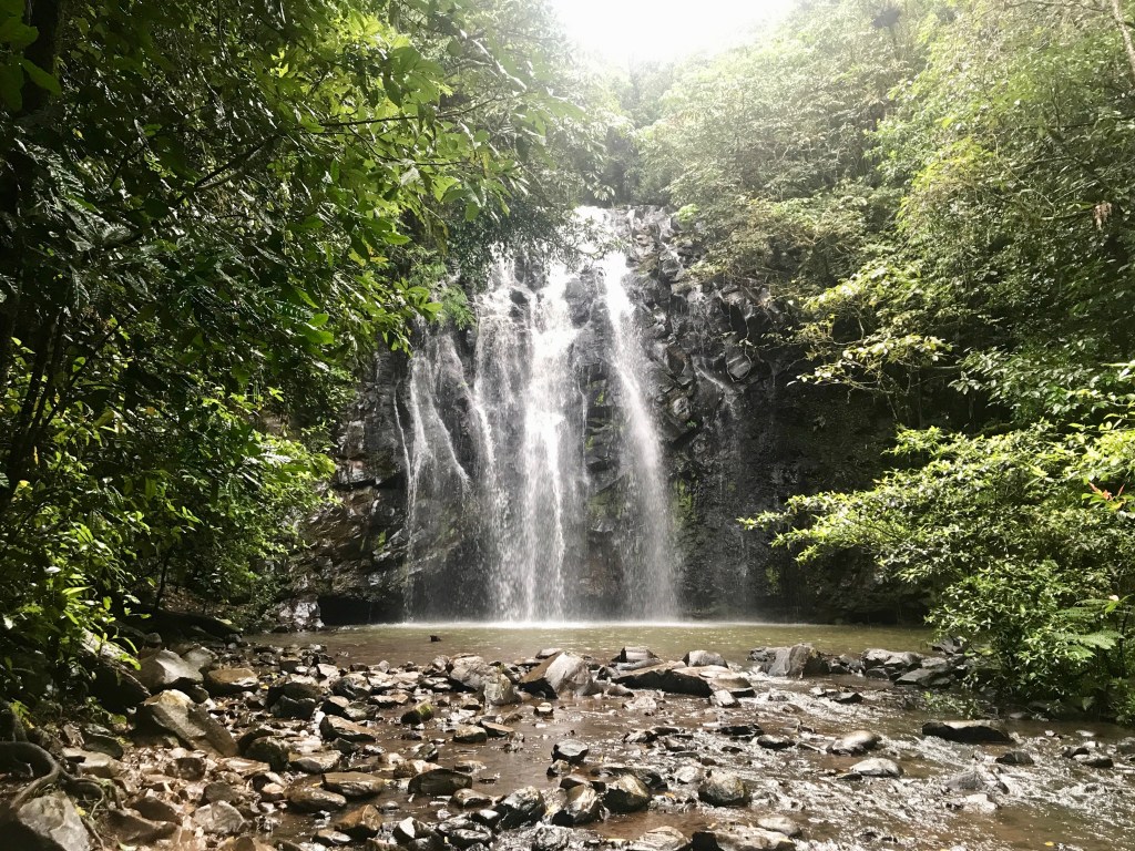
Evidence of volcanic activity remains with many craters on the Tablelands including well-known Lake Barrine and Lake Eacham, Mt Hypipamee (an enormous cavernous 50m hole containing a deep 80m lake), Bromfield Swamp and also several craters at the north end of Lake Tinaroo. Black Mountain near Cooktown at the northern end of the Wet Tropics area is magma flow. The soils are highly productive too being volcanic in origin. There are also lots of picturesque waterfalls. Wildlife highlights were a cassowary, a Riflebird displaying (like David Attenborough), and seeing gliders (while spotlighting).
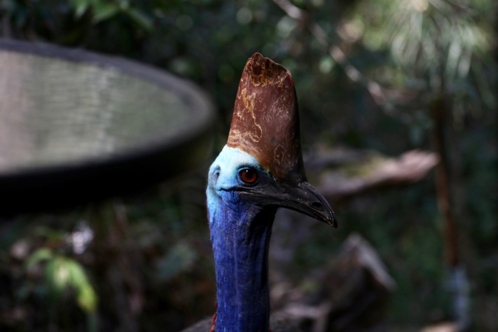
Cassowary 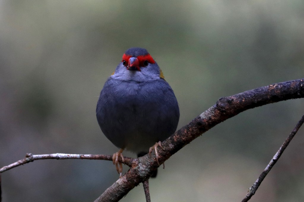
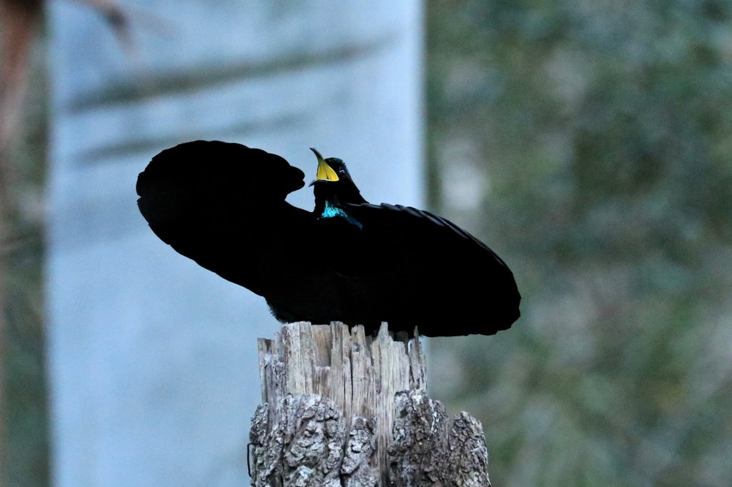
Victoria’s Riflebiird display 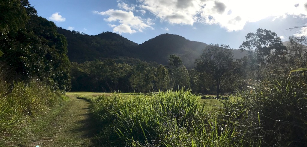
Cooktown was a very pleasant town with its heritage buildings on the main street and lots of mementoes of Cook’s seven week stay in 1770. The town is set on a beautiful inlet with sand dunes on the opposite shore where Cook was able to beach his boat and undertake repairs. The first landing point is now a fish restaurant. The hill ascended by Cook and his party is Sandy Hill where Cook looked for a passage through the reef. Wind was an issue for Cook leaving Cooktown with only his third attempt to leave the inlet successful. He also had to continue north to find a passage north due to these winds as it would have been impossible to sail south. We also had these same August ‘trade’ winds continually blowing during our stay, especially near the coast. There is also a James Cook museum at Cooktown which has the anchor from the Endeavour which was recovered in the 1970’s. It had been thrown overboard when all possible weight was removed from the ship in the efforts to refloat the boat. Cooktown has two other local museums, an excellent Botanic Gardens, and a number of good eating options. I think most visitors would stay a bit longer in Cooktown than they planned – that sort of place.
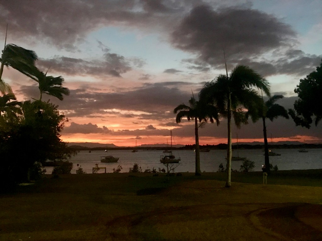
Sunset Cooktown 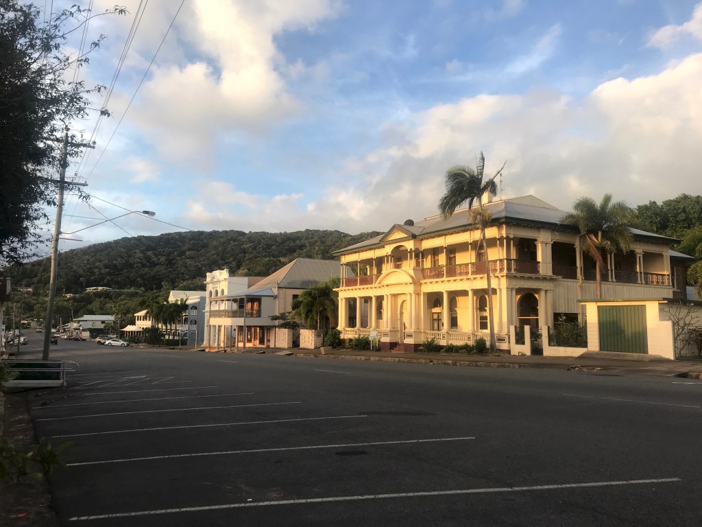
Cooktown
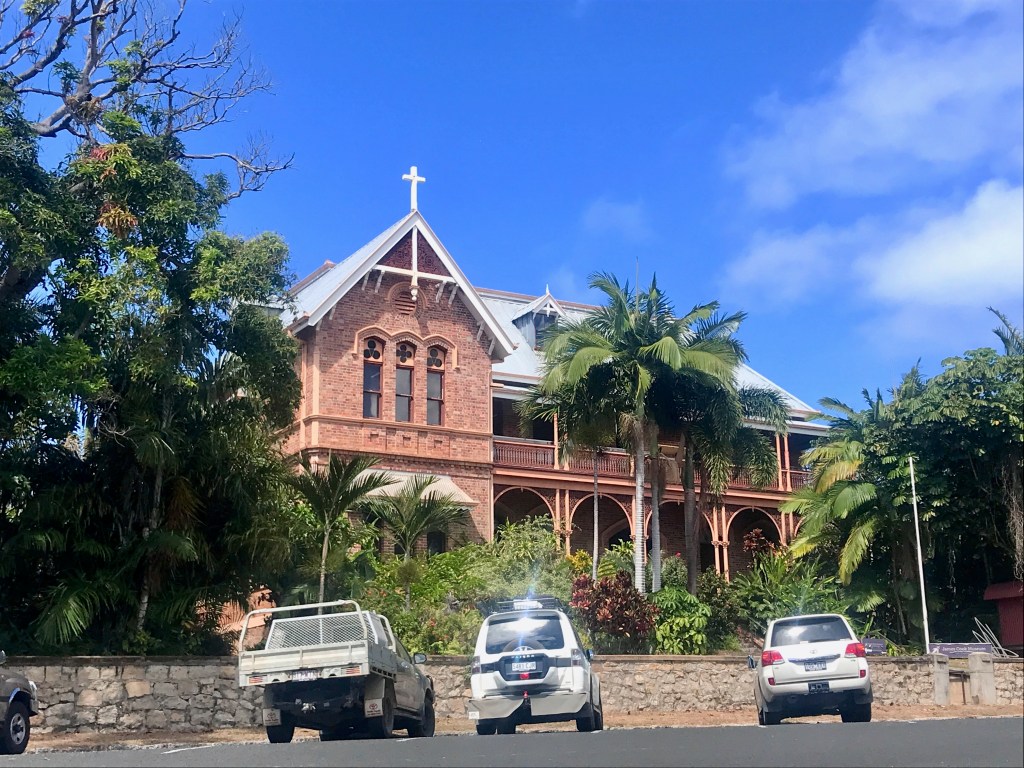
James Cook Museum 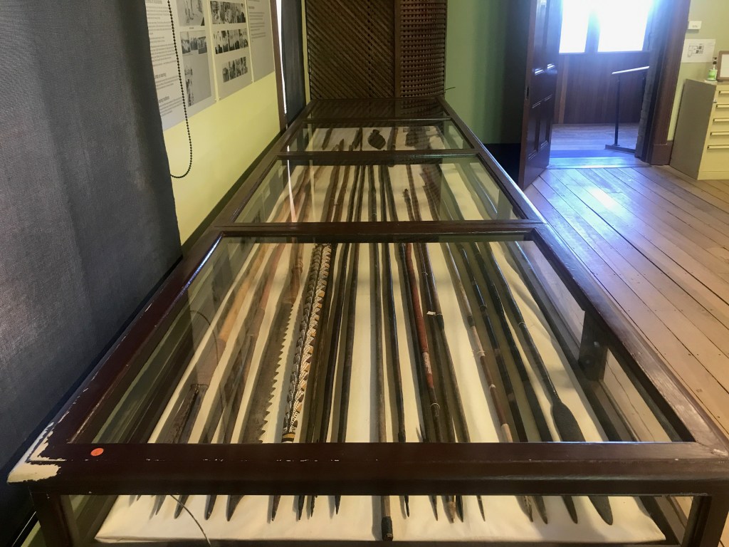
Spears
To the north, we travelled up to Hopevale. This community is an attractive settlement and has Elim Beach, with coloured sands 20kms away. These are only accessible at low tide unfortunately but it’s a very beautiful spot.
Elim Beach coloured sands 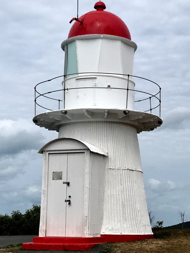
Cooktown Lighthouse
Heading south towards Daintree, Wujal Wujal is the community before the Bloomfield Road. It is located on the banks of the Bloomfield River and attractive Wujal Wujal Falls are just upstream. There is no swimming unfortunately in the river due to crocodiles. We saw a large crocodile resting on the opposite bank from the road. There is a bridge over the Bloomfield River that marks the beginning of Bloomfield Road.
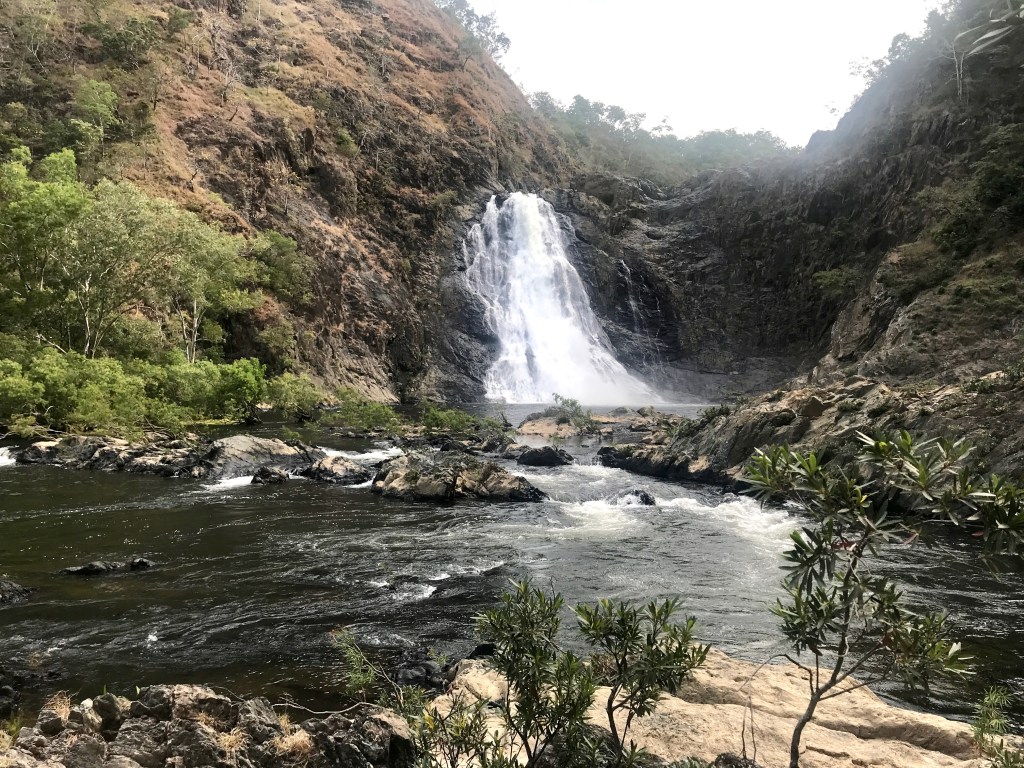
Wujal Wujal Falls 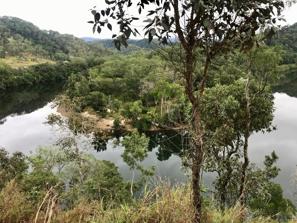
View from Bloomfield Track
This notorious road was constructed at the behest of Russ Hinze in the 1980’s. The road is 32km long and only able to be traversed by 4wd’s. It was carved out of the rainforest and the lack of advance surveying is evident with grades on the road traversing the coastal peaks of 33, 27 and 22 degrees. These grades are extraordinarily steep and the 33 and 27 degree sections have since been relaid in concrete slabs to enable vehicles to traverse the slopes when there was any rain. We came a cropper on the 22 degree incline. There was a big road team at work on this steepest remaining unconcreted slope. We started driving in fine weather but it deteriorated during the morning. Anyway, the road crew were constructing the outer side of the roadway, laying metal frames and reinforcing for concrete slabs. This left a narrow width of roadway for the single line of vehicles to traverse. Traffic was being controlled by a stop/go light system managed by road personnel. We were in a queue behind three motorbikes and another 4wd. Everything was taking ages and we only paid attention when the last motorbike went. He skidded badly a little way up the road. Eventually he passed out of sight. The 4wd in front went and immediately lost control. He skidded and fishtailed badly until he too passed out of sight. We too slid, skidded, fishtailed our way up the hill. It was frightening and somehow we didn’t end up in the drainage ditch beside the road or in the middle of the construction work. The only saving grace of the situation was the presence of the big work crew there that would have had to help get us out if we’d got stuck, because we would have blocked the road. It was hideous. We didn’t see any vehicles travelling south after us. We suspected they closed the road.
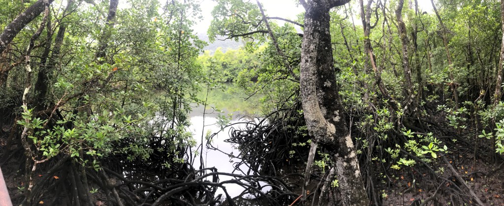
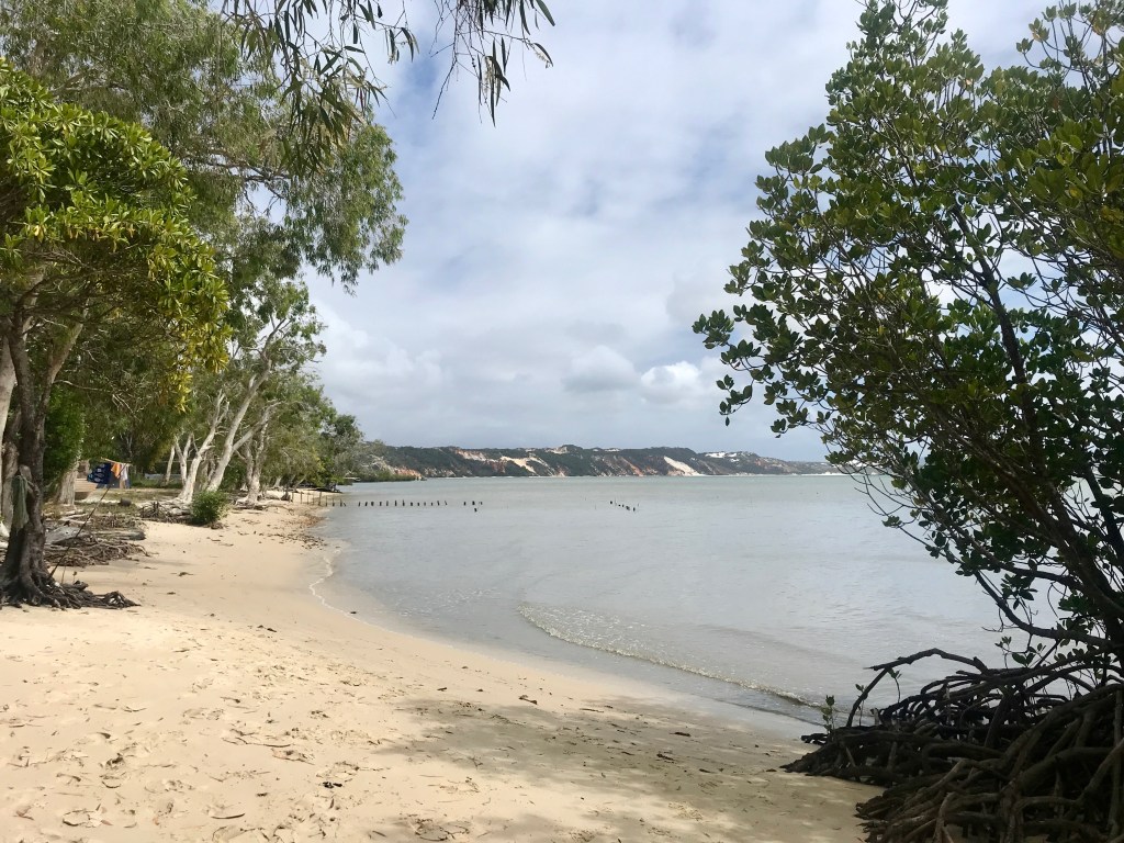
Aerial roots on mangroves 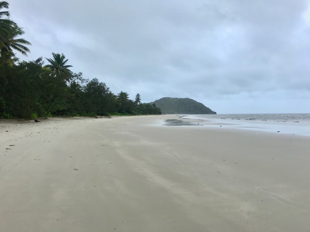
Daintree beach
After this, the rain was rather set in so we had a true rainforest experience. It’s such a beautiful area. We also went on a nature cruise on the Daintree River seeing lots of birds and crocodiles.
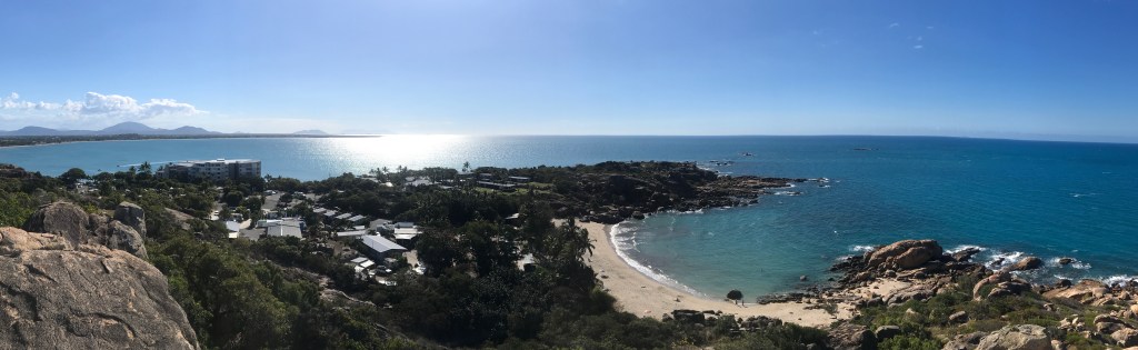
Highlights heading south were Ingham’s Tyto Wetlands, including a crocodile, Paluma National Park (the southern extent of the Wet Tropics World Heritage Area), Townsville’s Strand and Townsville Common, Horseshoe Bay near Bowen and Eungella and its platypuses (Mackay residents are fortunate having this park nearby).
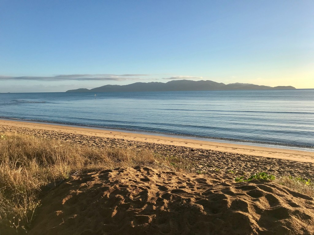
Magnetic Island from Rowes Bay 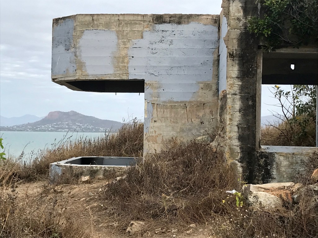
WW2 emplacements, Townsville Common
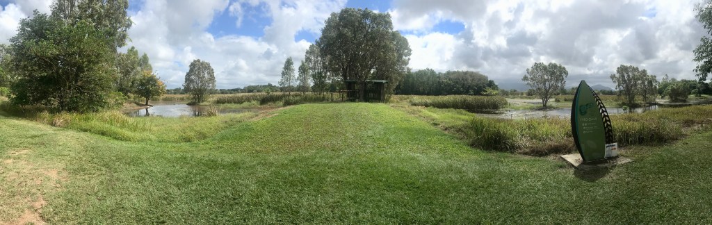
Tyto Wetlands, Ingham 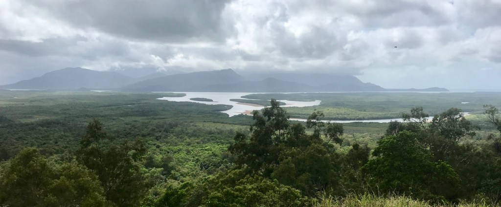
Views of Hinchinbrook Island
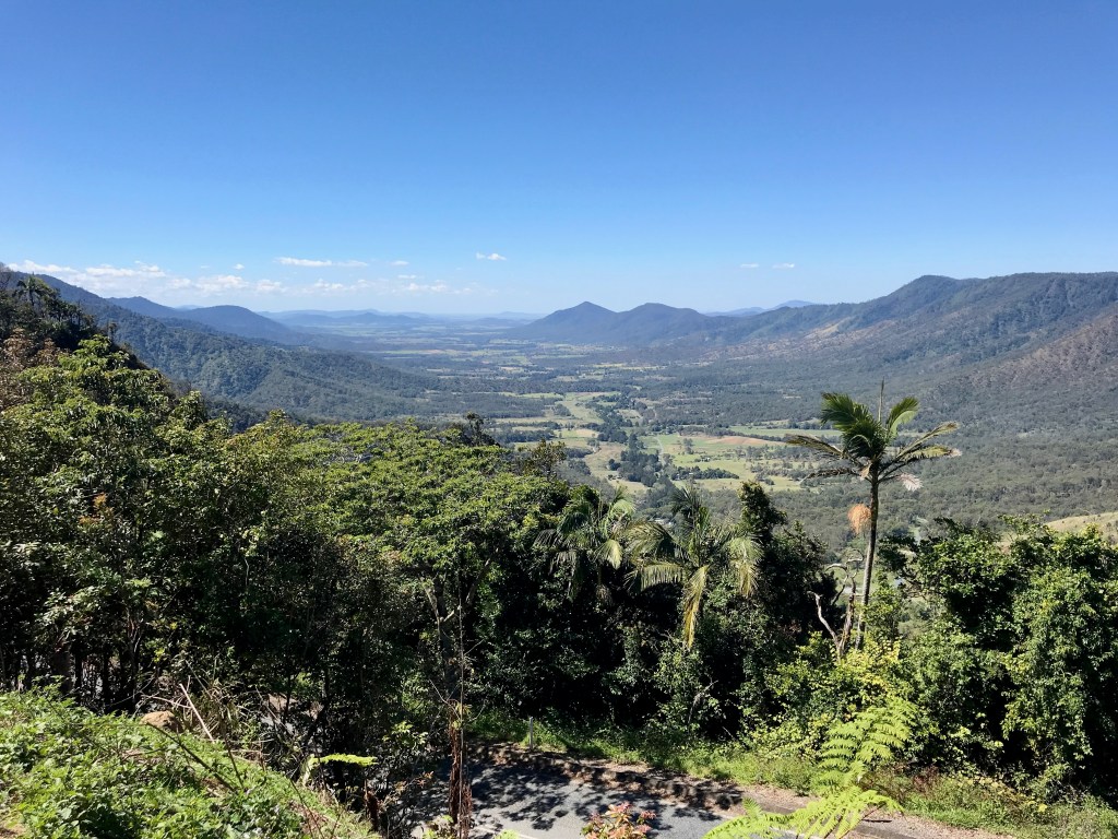
Pioneer Valley from Eungella 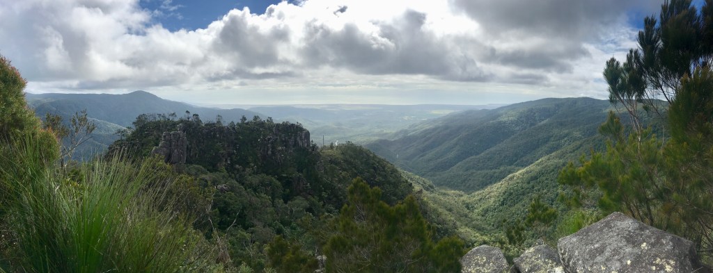
View from Paluma Range
Horseshoe Bay 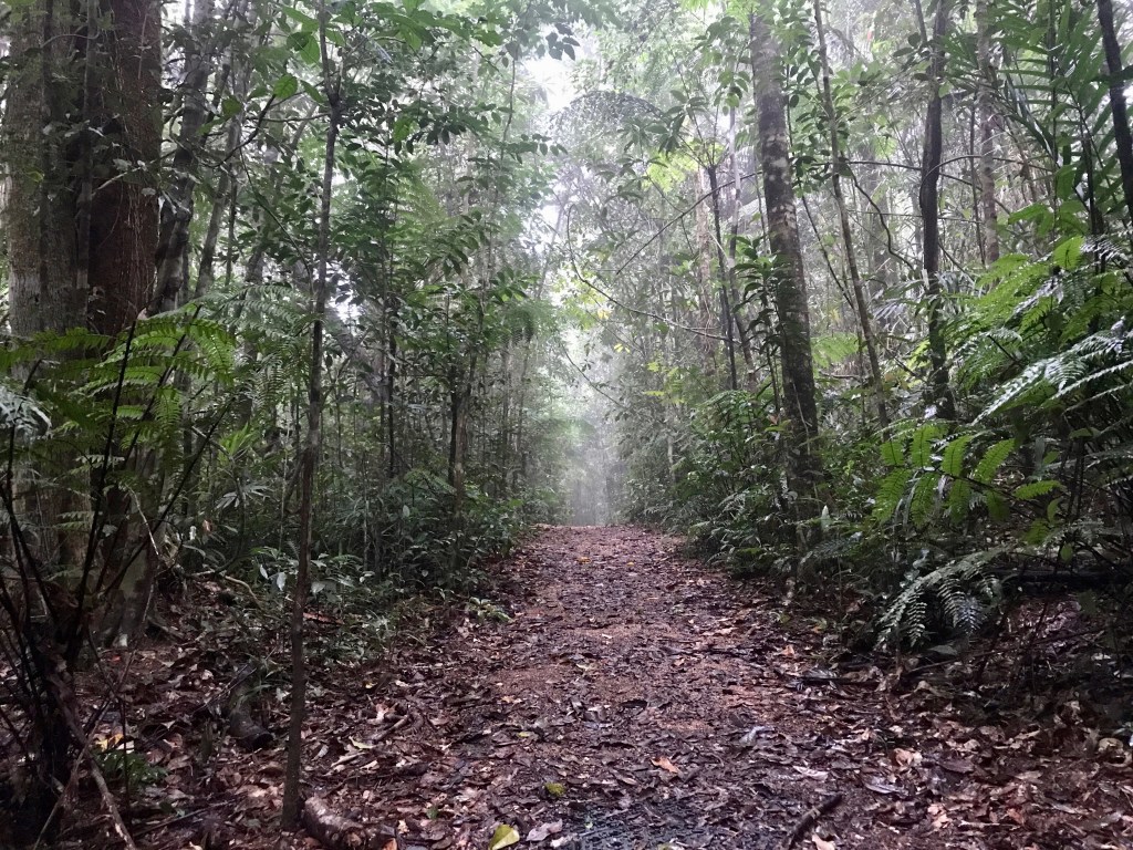
Paluma path
